Shawangunk Trails Map 2019 Now Available
Title

Body
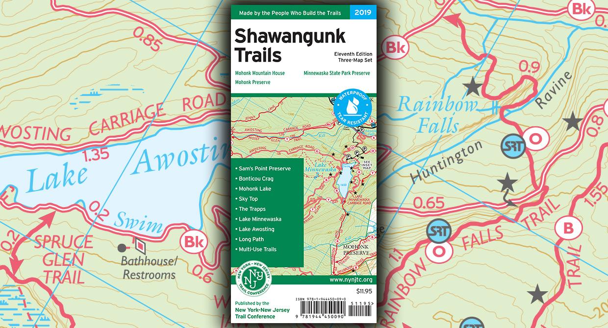
The revised 11th edition of our Shawangunk Trails map set is now available in print and digital formats!
The revised 11th edition of our Shawangunk Trails map set, now featuring junction-to-junction trail mileage numbers, is a must-have for exploring the northern Shawangunks of New York. This three-map set features more than 200 miles of maintained trails and carriage roads in Minnewaska State Park Preserve, Mohonk Preserve, Shawangunk Ridge State Forest, and other nearby parklands.
Additional map features include a large-scale map of the complex trail network in the area of Mohonk Mountain House, 20-foot elevation contour lines, parking areas, scenic viewpoints and other points of interest, and UTM gridlines. The maps show both carriage roads, many of which are open to bikes and horses, as well as foot trails, including the Long Path and Shawangunk Ridge Trail.
The maps are available in print format, in vibrant color on our popular waterproof, tear-resistant Tyvek; shop online, visit our headquarters, or look for them at an outdoor retailer near you.
In addition, the maps are also available on Apple and Android devices through the Avenza Maps app. To get the latest maps, and to help ensure the Trail Conference receives as much of your support as possible, please consider making your purchase directly from the following links: Bundle of all 4 maps, Map 104 (Minnewaska), Map 105 (Minnewaska and Mohonk Preserve), Map 106A (Mohonk Mountain House), and Map 106B (Shawangunk Ridge to Wurtsboro).
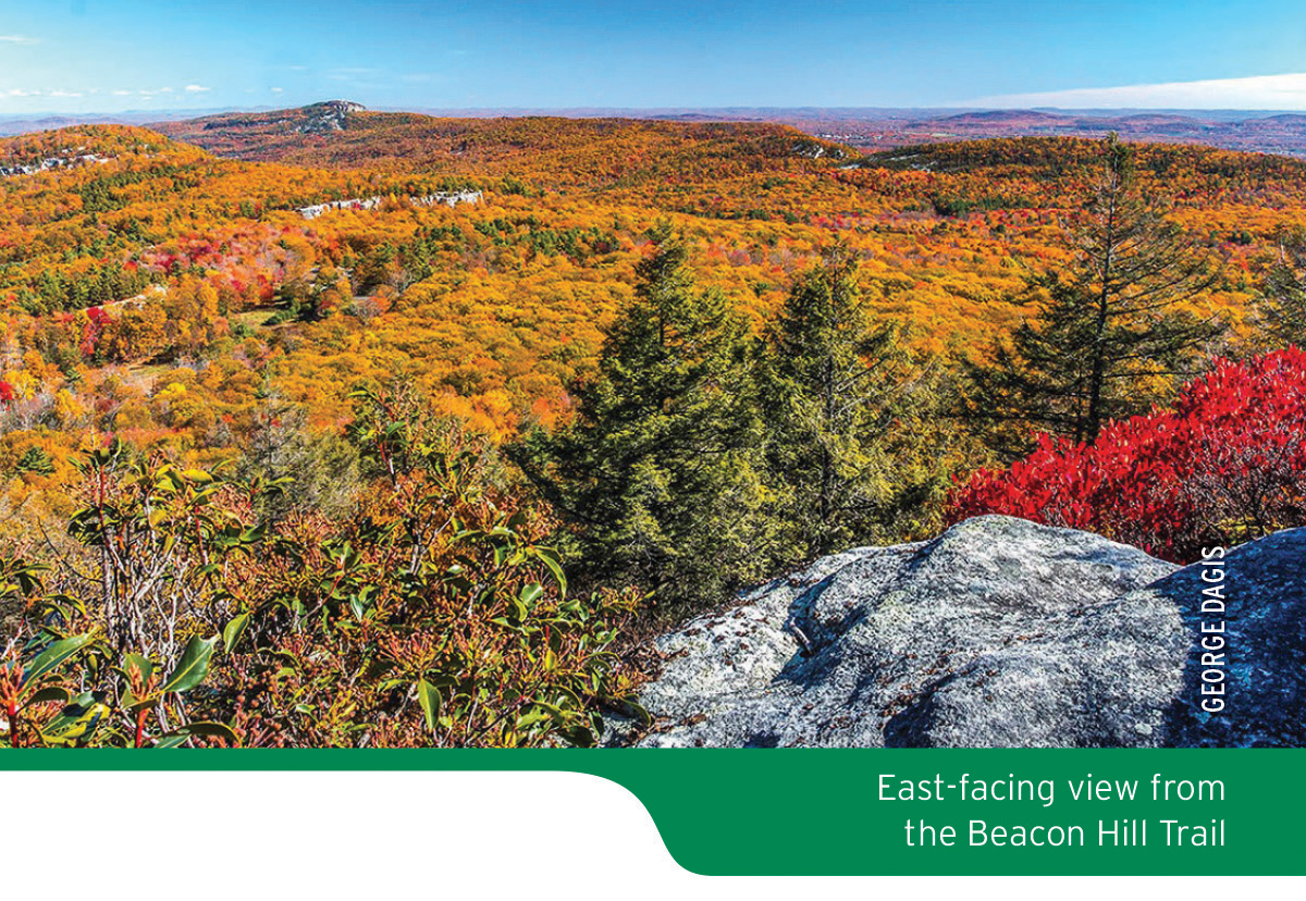
At only $11.95 ($8.96 for members), this map set is your guide to exploring the special features of the Shawangunk region, including breathtaking cliffs, pitch pines growing out of bedrock, and spectacular sweeping views. Grab your copy today!
About the Map
List price: $11.95 ISBN: 978-1-944450-09-0New York-New Jersey Trail Conference (2019)
At a Glance
- More than 200 miles of maintained trails and carriage roads, many of which are open to bikes and horses, in the northern Shawangunks of Ulster County
- Parklands including Minnewaska State Park Preserve, Mohonk Preserve, Shawangunk Ridge State Forest, and the Mohonk Mountain House property
- Sections of the Long Path and Shawangunk Ridge Trail
- Junction-to-junction trail mileage numbers
- 20-foot elevation contours
- 1:30,000 scale (1 inch = 0.47 mile)
- Convenient map sizes to carry and use on the trail
- Map featuring the route of the Long Path/Shawangunk Ridge Trail between Wurtsboro and Route 52
- Enlarged large-scale map of the complex trail network in the area of Mohonk Mountain House
- Parkland boundaries
- Unmaintained trails and woods roads
- Viewpoints, waterfalls, mines, and other points of interest
- Parking areas
- Public transportation
- Park contact information, history, and regulations
- UTM coordinate grid
Special Thanks
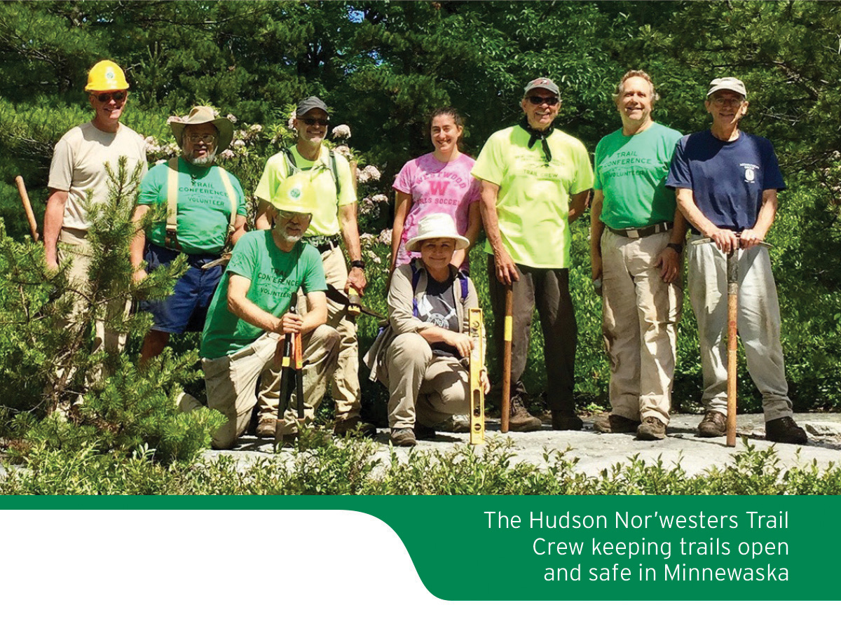
Special thanks go out to all the volunteers who helped carefully field-check and review the maps for this revised Shawangunk Trails map set. In addition, several partners provided helpful advice and review, including the staff of Minnewaska State Park Preserve, Mohonk Preserve, New York State Department of Environmental Conservation, and the Open Space Institute.This map was also produced with support from Thruway Sporting Goods, a retail partner of the Trail Conference.
About the Trail Conference
The New York-New Jersey Trail Conference is a volunteer-powered, 501(c)3 nonprofit organization that builds, maintains, and protects public trails. Together with our partners, we strive to ensure that the trails and natural areas we share are sustainable and accessible for all to enjoy for generations to come. Do your part to speak up for trails, volunteer to make our trails better, or support trails by purchasing great maps, making a gift, or becoming a member.
New York-New Jersey Trail Conference maps are built on more than 80 years of mapping experience. They are the trusted source for reliable trail information in the New York-New Jersey metropolitan region. These maps are "Made By the People Who Build the Trails" and are regularly updated with changes to the trails.


